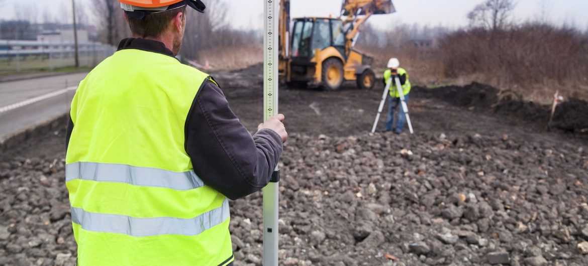
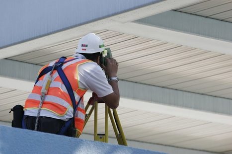
Boundary survey is an essential survey carried out to properly define the limits and the true corners of a property. The process of a boundary survey is a very involving process that requires specific skills to ensure accuracy. Boundary surveys are usually required when someone is purchasing a land, starting a project on the land, or dividing a land. This type of survey is done to avoid future arguments that may arise when there are no clear boundaries. For instance, a lot of land boundary disputes in Ireland are due to the fact that there are no clear boundaries.

The Process of a Boundary Survey
The process is a highly meticulous process that is devoid of any errors. It is a legal task and surveyors must comply with the rules and regulations of the state in which the land is located. The steps for the boundary survey are as follows.
The next step is to locate and verify the corners of the land. If the corners cannot be located, the corners will be re-established and reset.
The surveyor will then mark each corner with a visible market such as an iron pipe. It should be easy to see the marker from across the property. The markers should be around two feet tall. The surveyor will improve the visibility of the corners by spraying pink paint in these areas.
The surveyors will then put flags or labels at the corners to make it easy to locate the corners of the land.
Components of a Boundary Survey
After marking the boundary lines of the land, the surveyor needs to analyse the records relating to the property. This land examination is not limited to the land but the other properties around it. The examination involves searching through the Registry of Deeds. Other places that are often considered in this historical search is the Registry of Probate, town offices, historical associations, county commissioners’ offices, and the department of transportation.
The surveyors may also contact previous owners to confirm certain information. Doing this can be very useful in the future. It has saved a lot of land disputes in Ireland.
The surveyor will next prepare a sketch deed. The surveyors then move on to the field reconnaissance level. At this point, the surveyors will gather more information on the property to complete the drawing.
The collected information is reviewed, validated, and mathematical accuracy is also checked. It is at this point that the surveyor checks for encroachment, rights of way, and acreage, and easements.
After the data entry and analysis, the surveyor will start the final plan. This plan will include all the findings and recommendations of the survey. The final plan is prepared with a standard format such that it can be read and verified by other land surveyors. The final plan is considered a legal document.
Boundary surveys are essential and they need to be properly done to avoid future problems. That is why you need to hire an expert. If you need a recommendation for surveyors with trusted skills to perform boundary surveys, Complete Survey Solutions is a reliable option.


